
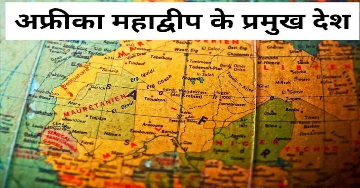


अफ्रीका महाद्वीप के प्रमुख देश | Major Countries of Africa Continent
अफ्रीका महाद्वीप के प्रमुख देशों में दक्षिण अफ्रीका, मिस्र गणतंत्र, नाइजीरिया सम्मिलित हैं।
दक्षिण अफ्रीका- यह अफ्रीका महाद्वीप के सबसे दक्षिण में स्थित है। इसके पूर्व में हिंद महासागर और पश्चिम में दक्षिणी अटलांटिक महासागर स्थित है। दक्षिण अफ्रीका की स्थलीय सीमा नामीबिया, बोत्सवाना, ज़िंबाब्वे और मोज़ांबिक निर्धारित करते हैं। अफ्रीका महाद्वीप का सबसे दक्षिणतम 'केप ऑफ गुड होप' (आशा अंतरीप) यहीं पर स्थित है। दक्षिण अफ्रीका से चारों ओर से घिरा हुआ एक स्थलरूध्द देश 'लेसोथो' है। इसके अतिरिक्त दक्षिण अफ्रीका और मोज़ांबिक की सीमा पर स्थित एक अन्य स्थलरूध्द देश 'स्वाज़ीलैंड' है। दक्षिण अफ्रीका के पूर्वी भाग में ड्रैकेंसबर्ग पर्वत स्थित है। इस पर्वत श्रेणी से 'ऑरेंज' और 'वॉल' नदियों का उद्गम हुआ है। इस देश की जलवायु शीतोष्णकटिबंधीय है। यहाँ अधिकांश वर्षा ग्रीष्म ऋतु में तटीय क्षेत्रों में होती है। यहाँ के दक्षिण-पश्चिम क्षेत्रों जैसे- केपटाउन में भूमध्यसागरीय जलवायु पाये जाने के कारण शीत ऋतु में भी वर्षा होती है। 'केपटाउन' रसदार फलों और शराब उद्योग हेतु प्रसिद्ध है। इसे दक्षिण अफ्रीका की 'वैधानिक राजधानी' भी कहा जाता है। दक्षिण अफ्रीका में पाए जाने वाले शीतोष्ण कटिबंधीय घास के मैदान को 'वेल्ड' कहते हैं। यहाँ के वेल्ड प्रदेश को 'मक्का त्रिभुज' भी कहते हैं। देश में कुछ शीतोष्ण कटिबंधीय घास के मैदान भी हैं, जो कृषि हेतु उपयुक्त नहीं है। इनका प्रयोग पशुपालन में किया जाता है। यहाँ की मेरिनो भेड़ से उच्च कोटि का ऊन प्राप्त होता है। दक्षिण अफ्रीका में प्रचुर मात्रा में खनिज संसाधन उपलब्ध है। देश में हीरा, सोना, मैंगनीज़, क्रोमियम, यूरेनियम, तांबा, प्लेटिनम और कोयला जैसे खनिज संसाधनों का वृहद् भंडार उपलब्ध है। दक्षिण अफ्रीका के रेंड में स्थित ट्रांसवाल क्षेत्र देश का प्रमुख सोना उत्पादक केंद्र है। इसके अतिरिक्त जोहांसबर्ग को 'स्वर्णनगर' के नाम से जाना जाता है। हीरा उत्पादन हेतु किंबरले पूरे विश्व में प्रसिद्ध है। इसे 'डायमंड सिटी' के नाम से जाना जाता है। पृथ्वी पर मानव निर्मित खनन संबंधित सबसे लंबी सुरंग किंबरले खनन क्षेत्र में अवस्थित है। दक्षिण अफ्रीका में सामाजिक और नृजातीय विविधता है। देश के नटाल प्रदेश में जुलू जनजाति रहती है और डरबन में भारतीय मूल के एवं केपटाउन में नीग्रो लोग निवास करते हैं। दक्षिण अफ्रीका की प्रशासनिक राजधानी 'प्रिटोरिया' है। यहाँ का सबसे बड़ा शहर 'जोहांसबर्ग' है। यहाँ की न्यायिक राजधानी 'ब्लौम्फोन्टेन' है। जोहांसबर्ग देश का सबसे महत्वपूर्ण औद्योगिक प्रदेश है। देश का सबसे महत्वपूर्ण बंदरगाह डरबन बंदरगाह है। दक्षिण अफ्रीका के अन्य महत्वपूर्ण अगर पोर्ट एलिज़ाबेथ और ईस्ट लंदन हैं।
South Africa- It is located in the southernmost part of the continent of Africa. To the east lies the Indian Ocean and to the west lies the South Atlantic Ocean. South Africa is bordered by Namibia, Botswana, Zimbabwe and Mozambique. The southernmost part of the continent of Africa 'Cape of Good Hope' (Asha Cape) is located here. 'Lesotho' is a landlocked country surrounded by South Africa. Apart from this, there is another landlocked country 'Swaziland' located on the border of South Africa and Mozambique. The Drakensberg Mountains are located in the eastern part of South Africa. The 'Orange' and 'Wall' rivers originate from this mountain range. The climate of this country is temperate. Most of the rainfall here occurs in the summer season in the coastal areas. Due to the Mediterranean climate found in the south-west regions like Cape Town, there is rainfall even in winter. 'Cape Town' is famous for its juicy fruit and wine industry. It is also called the 'statutory capital' of South Africa. The temperate grasslands found in South Africa are called 'weld'. The weld region here is also called 'Maize Triangle'. The country also has some temperate grasslands, which are not suitable for agriculture. They are used in animal husbandry. High quality wool is obtained from Merino sheep here. South Africa has abundant mineral resources. The country has vast reserves of mineral resources like diamond, gold, manganese, chromium, uranium, copper, platinum and coal. The Transvaal region, located in the Rand of South Africa, is the main gold producing center of the country. Apart from this, Johannesburg is also known as 'Swarnanagar'. Kimberley is famous all over the world for diamond production. It is known as 'Diamond City'. The longest man-made mining tunnel on Earth is located in the Kimberley mining area. There is social and ethnic diversity in South Africa. The Zulu tribe lives in the Natal region of the country and Durban is inhabited by Negro people of Indian origin and Cape Town. The administrative capital of South Africa is 'Pretoria'. The largest city here is 'Johannesburg'. The judicial capital here is 'Bloemfontein'. Johannesburg is the most important industrial region of the country. The most important port of the country is Durban Port. Other important IFs of South Africa are Port Elizabeth and East London.
अफ्रीका महाद्वीप से संबंधित इन 👇इन प्रकरणों को भी पढ़ें।
1. अफ्रीका महाद्वीप की सामान्य जानकारी
2. अफ्रीका महाद्वीप की पर्वत एवं पठार
मिस्र गणतंत्र- यह अफ्रीका महाद्वीप के पूर्वोत्तर में स्थित है। इसके उत्तर में भूमध्य सागर और दक्षिण-पूर्व में लाल सागर है। मिस्र गणतंत्र की स्थलीय सीमा लीबिया तथा सूडान निर्धारित करते हैं। यह अफ्रीका महाद्वीप का एकमात्र ऐसा देश है जो स्थलखंड के द्वारा एशिया महाद्वीप से जुड़ता है। इस देश के अधिकांश क्षेत्र पर सहारा मरुस्थल का विस्तार है। नील नदी देश के आंतरिक भाग से होकर गुजरती है। नील नदी के पूर्व में फैले मरुस्थलीय क्षेत्र को 'पूर्वी मरुस्थल' कहा जाता है। नील नदी मिस्र में दक्षिण से उत्तर दिशा की ओर बहती हुई भूमध्य सागर में गिरती है। नील नदी मिस्र में अनेक वितरिकाओं में विभाजित होकर चापाकार डेल्टा बनाती है। इस नदी के तटीय क्षेत्रों में जलोढ़ मृदा का निर्माण हुआ है। इस क्षेत्र में कपास, चावल और गन्ना की खेती की जाती है। मिस्र की अधिकांश जनसंख्या कृषि पर निर्भर है। इसी वजह से नील नदी को 'मिस्र की जीवन रेखा' कहा जाता है। मिस्र में नील नदी पर 'अस्वान' बाँध बनाया गया है। यह नील नदी का सबसे ऊंचा बांध है। इस बांध से निर्मित जलाशय को 'नासिर झील' के नाम से जाना जाता है। यह कृत्रिम झील का उदाहरण है। मिस्र में अत्यंत कम वर्षा होती है। इसलिए यहाँ की अधिकतर भूमि मरुस्थलीय है। मिस्र के अधिकांश क्षेत्रों पर 'खमसिन' नाम की गर्म हवा का प्रभाव रहता है। ये हवाएँ देश के दक्षिण से उत्पन्न होती हैं। स्वेज़ नहर पर पोर्ट स्वेज़ और पोर्ट सईद के बीच उत्तर से दक्षिण दिशा की ओर क्रमशः टिमसा, ग्रेट बिटर और लिटिल बिटर झीलें स्थित हैं। सिनई प्रायद्वीप के पूर्व में अक्काबा की खाड़ी और पश्चिम में स्वेज़ की खाड़ी स्थित है। मिस्र में कृषि कार्य के लिए उपयुक्त भूमि की कमी है। किंतु फिर भी यहाँ के अधिकांश जनसंख्या कृषि पर निर्भर है। मिस्र का कपास संपूर्ण विश्व में प्रसिद्ध है। काहिरा में सूती वस्त्र उद्योग है। मिस्र का प्रमुख बंदरगाह अलेक्जेंड्रिया है। यहाँ से सूती वस्त्र और पेट्रोलियम का निर्यात किया जाता है। मिस्र के मरूद्यानों में खजूर की खेती की जाती है। किंतु यहाँ की प्रमुख नकदी फसल कपास है। यहाँ के किसानों को 'फेल्लाह' कहा जाता है। दक्षिण अफ्रीका का एक महत्वपूर्ण 'काहिरा' है, जो इसकी राजधानी है। जनसंख्या की दृष्टि से अफ्रीका महाद्वीप का दूसरा सबसे बड़ा नगर है। यह नगर देश का परिवहन फोकस केंद्र है। मिस्र का सबसे बड़ा पत्तन अलेक्जेंड्रिया है। यह नील नदी के डेल्टाई क्षेत्र में स्थित है। मिस्र में नील नदी के निकट 'गीज़ा शहर' स्थित है। यह शहर अपनी प्राचीन स्थापत्य कला के लिए संपूर्ण विश्व में प्रसिद्ध है। यहाँ के पिरामिड दुनिया के प्राचीन सात अजूबों में सम्मिलित हैं।
Republic of Egypt- It is located in the northeast of the continent of Africa. It is bordered by the Mediterranean Sea to the north and the Red Sea to the southeast. Libya and Sudan determine the terrestrial border of the Republic of Egypt. It is the only country in the continent of Africa that is connected to the continent of Asia by landmasses. Most of the territory of this country is spread over the Sahara Desert. Nile River runs through the interior of the country. The desert region extending east of the Nile is called 'Eastern Desert'. The Nile river flows from south to north in Egypt and falls into the Mediterranean Sea. The Nile divides into several distributaries in Egypt to form a arboreal delta. Alluvial soil has been formed in the banks of this river. Cotton, rice and sugarcane are cultivated in this region. Most of the population of Egypt is dependent on agriculture. That is why the Nile is called 'Egypt's lifeline'. 'Aswan' Dam has been built on the Nile River in Egypt. It is the highest dam on the Nile River. The reservoir created by this dam is known as 'Nasir Lake'. This is an example of an artificial lake. There is very little rainfall in Egypt. Therefore, most of the land here is desert. 'Khamsin' is the influence of hot air on most areas of Egypt. These winds originate from the south of the country. Between Port Suez and Port Said on the Suez Canal lie the Timsa, Great Bitter and Little Bitter lakes from north to south direction respectively. To the east of the Sinai Peninsula lies Gulf of Aqaba and to the west Gulf of Suez. Egypt lacks suitable land for agricultural work. But still most of the population here is dependent on agriculture. Egyptian cotton is famous all over the world. There is a cotton textile industry in Cairo. The main port of Egypt is Alexandria. Cotton textiles and petroleum are exported from here. Dates are cultivated in the deserts of Egypt. But the main cash crop here is cotton. The farmers here are called 'Fellah'. An important part of South Africa is 'Cairo', which is its capital. In terms of population, it is the second largest city in the continent of Africa. The city is the transport focus center of the country. The largest port of Egypt is Alexandria. It is located in the deltaic region of the Nile River. 'The city of Giza' is located near the Nile River in Egypt. This city is famous all over the world for its ancient architecture. Here the pyramids are included in the ancient seven wonders of the world.
एशिया महाद्वीप से संबंधित इन 👇 प्रकरणों के बारे में भी जानें।
1. एशिया महाद्वीप का विस्तार एवं संबंधित महत्वपूर्ण तथ्य
2. एशिया महाद्वीप की प्रमुख जल संधियां
3. एशिया महाद्वीप की प्रमुख नदियाँ
4. एशिया महाद्वीप के प्रमुख मरुस्थल एवं मैदान
5. एशिया महाद्वीप की प्रमुख झीलें
6. एशिया महाद्वीप की जलवायु, वनस्पति, प्राकृतिक संसाधन तथा कृषि
7. एशिया महाद्वीप के प्रमुख देश
नाइजीरिया- यह अफ्रीका महाद्वीप के पश्चिम में स्थित है। यह अफ्रीका महाद्वीप का सबसे अधिक जनसंख्या वाला देश है। इसको 'निम्न भू-भागों' व 'पठारों का देश' भी कहा जाता है। अफ्रीका में सर्वाधिक पाम ऑयल उत्पादन यहीं होता है। इसलिए नाइजीरिया को 'तेलताड़' के नाम से भी जाना जाता है। यहाँ की प्रमुख नकदी फसल मूंगफली है। इसका नाइजीरिया से निर्यात किया जाता है। इसके अतिरिक्त यहाँ पर कोको का भी वृहद् स्तर पर उत्पादन किया जाता है। नाइजीरिया के दक्षिणी भाग की जलवायु विषुवत रेखीय है। देश के मध्य भाग में सवाना और उत्तर में मरुस्थलीय क्षेत्र का विस्तार है। सवाना घास के मैदान का प्रयोग पशुपालन हेतु किया जाता है। विषुवत् रेखीय जलवायवीय क्षेत्रों में वनों का विकास हुआ है। नाइजीरिया में ग्रीष्म ऋतु में उत्तर-पूर्व दिशा से गर्म और धूल भरी हवाएँ चलती हैं। इन्हें 'हरमट्टन' कहते हैं। नाइजीरिया के उत्तरी भाग में 'जॉस का पठार' और मध्यवर्ती भाग में 'अडामावा उच्चभूमि' स्थित है। यहाँ का मध्यवर्ती पठारी क्षेत्र टिन की दृष्टि से महत्वपूर्ण है। इसके अतिरिक्त यहाँ लोहा, शीशा, मैगनीज़ और जस्ता भी प्रचुर मात्रा में पाए जाते हैं। यहाँ कोयले का भी उत्पादन होता है। देश के मध्यवर्ती क्षेत्र से नाइजर नदी प्रवाहित होती है। इस नदी के मुहाने पर नाइजीरिया का प्रमुख बंदरगाह 'पोर्ट हारकोर्ट' अवस्थित है। यह ताड़तेल और क्रूड ऑयल के निर्यात के लिए प्रसिद्ध है। तेल नाइजीरिया की अर्थव्यवस्था का आधार स्तंभ है। नाइजर नदी पर 'कैंजी बांध' का निर्माण किया गया है। इसका प्रमुख उद्देश्य सिंचाई और जल विद्युत उत्पादन है। नाइजर की प्रमुख सहायक नदी 'बन्यू' है। यह उससे पूर्व दिशा में आकर मिलती है। जनसंख्या की दृष्टि से अफ्रीका महाद्वीप का सबसे बड़ा नगर 'लागोस नगर' नाइजीरिया में ही स्थित है। नाइजीरिया की प्रमुख जनजातियाँ हाउसा, फुलानी और योरूबा हैं। हाउसा और फुलानी मुस्लिम धर्म और योरूबा ईसाई धर्म का पालन करती हैं। योरूबा यहाँ के समृद्ध जनजाति है, जबकि हाउसा कृषक और फुलानी पशुपालक जनजाति है।
Nigeria- It is located in the west of the continent of Africa. It is the most populous country in the continent of Africa. It is also called 'Lowlands' and 'Plateau country'. This is where most of the palm oil production in Africa takes place. That's why Nigeria is also known as 'Teltar'. The major cash crop here is groundnut. It is exported from Nigeria. Apart from this, cocoa is also produced on a large scale here. The climate of the southern part of Nigeria is equatorial. In the central part of the country there is an extension of the savanna and in the north the desert region. The savanna grassland is used for animal husbandry. Forests have developed in equatorial climatic zones. Hot and dusty winds blow from the north-east direction in summer in Nigeria. These are called 'Harmattan'. In the northern part of Nigeria lies 'Joss Plateau' and in the central part 'Adamawa Highlands'. The intermediate plateau region here is important from the point of view of tin. Apart from this, iron, lead, manganese and zinc are also found in abundance here. Coal is also produced here. The Niger River flows through the central region of the country. The major port of Nigeria 'Port Harcourt' is located at the mouth of this river. It is famous for the export of palm oil and crude oil. Oil is the backbone of Nigeria's economy. 'Kainzi Dam' has been constructed on the Niger River. Its main purpose is irrigation and hydropower generation. The main tributary of Niger is 'Banaue'. It meets him in the east direction. The largest city in the continent of Africa in terms of population 'Lagos City' is located in Nigeria itself. The major tribes of Nigeria are Hausa, Fulani and Yoruba. The Hausa and Fulani follow Muslim religion and Yoruba Christianity. The Yoruba are the rich tribes here, while the Hausa are the farmers and the Fulani cattle herders.
भौगोलिक जानकारी से संबंधित इन 👇 प्रकरणों के बारे में भी जानें।
1. भारत में खनिज उत्पादक राज्य
2. भारत में खनिज उत्पाद
3. भारत में परिवहन
4. भारत के प्रमुख औद्योगिक क्षेत्र
5. भारत के उद्योग- स्वतंत्रता प्राप्ति से पहले व बाद में
6. भारत में रसायन उद्योग
7. भारत में प्रमुख लौह इस्पात उद्योग
8. भारत में वस्त्र उद्योग
9. भारत में टेक्नोलॉजी आधारित उद्योग
आशा है यह जानकारी परीक्षार्थियों के लिए बहुत उपयोगी एवं महत्त्वपूर्ण होगी।
धन्यवाद।
RF Temre
infosrf.com
संबंधित जानकारी नीचे देखें।
(Watch related information below) 👇🏻

आशा है, उपरोक्त जानकारी उपयोगी एवं महत्वपूर्ण होगी।
(I hope the above information will be useful and important. )
Thank you.
लेखक
(Writer)
infosrf.com
पाठकों की टिप्पणियाॅं (0)
You may also like
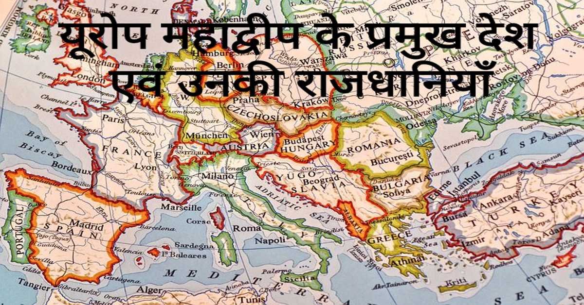
यूरोप महाद्वीप के प्रमुख देश एवं उनकी राजधानियाँ | Europe's Main Countries And Their Capitals
यहाँ यूरोप महाद्वीप के प्रमुख देश एवं उनकी राजधानियाँ दी गई हैं। Europe's Main Countries And Their Capitals given here.
Read more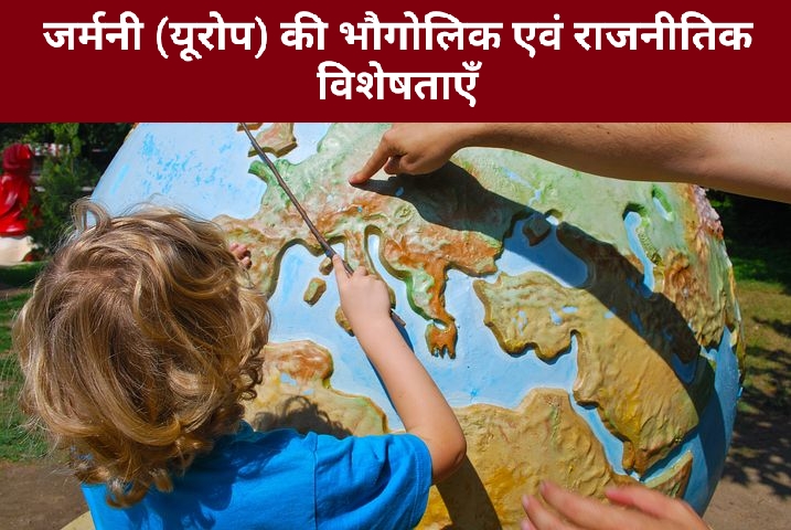
जर्मनी (यूरोप) की भौगोलिक एवं राजनीतिक विशेषताएँ | Geographical And Political Features Of Germany (Europe)
जर्मनी यूरोप महाद्वीप के महत्वपूर्ण देशों में से एक है। इसके उत्तर-पश्चिम में उत्तर सागर स्थित है। जर्मनी के उत्तर-पूर्व में बाल्टिक सागर स्थित है।
Read more.jpg)
फ्रांस (यूरोप) की भौगोलिक एवं राजनीतिक विशेषताएँ | Geographical And Political Features Of France (Europe)
फ्रांस क्षेत्रफल की दृष्टि से यूरोप महाद्वीप का दूसरा सबसे बड़ा देश है। यूरोप महाद्वीप का सबसे बड़ा देश रूस है।
Read more