


भारत का भूगोल : भारत के तटीय मैदान
Geography of India : Coastal Plains of India
भारत के तटीय मैदान का विस्तार प्रायद्वीपीय पर्वत श्रेणी तथा समुद्र तट के बीच में हुआ है। इन मैदानों का निर्माण 'सागर की तरंगों' द्वारा अपरदन तथा निक्षेपण और पठारी नदियों द्वारा लाए गए अवसादो के जमाव के कारण हुआ है। ये तटीय मैदान पूर्वी एवं पश्चिमी दोनों घाटों की और फैले हुए हैं।
India's coastal plain extends between the peninsular mountain range and the coastline. These plains are formed by erosion and deposition by 'ocean waves' and deposition of sediments brought by the plateau rivers. These coastal plains are spread over both the Eastern and Western Ghats.
इन तटीय मैदानों को दो भागों में वर्गीकृत किया जा सकता है :
1. पश्चिमी तटीय मैदान
2. पूर्वी तटीय मैदान।
These coastal plains can be classified into two parts:
1. Western Coastal Plain
2. Eastern Coastal Plain.
★ पश्चिमी तटीय मैदान : भारत के पश्चिमी घाट और अरब सागर के तट के मध्य निर्मित मैदान को 'पश्चिमी तटीय मैदान' कहा जाता है। इस मैदान का विस्तार गुजरात राज्य के 'सूरत' से लेकर तमिलनाडु राज्य के 'कन्याकुमारी' तक है।
★ Western Coastal Plain: The plain formed between the Western Ghats of India and the Arabian Sea coast is 'Western Coastal Plain' It is said. The grounds extend from 'Surat' in the state of Gujarat to 'Kanyakumari' in the state of Tamil Nadu.
पश्चिमी तटीय मैदान को मुख्यतः चार भागों में वर्गीकृत किया जा सकता है :
1. गुजरात का तट या मैदान अथवा गुजरात का तटवर्ती क्षेत्र - इसे कच्छ तथा काठियावाड़ या सौराष्ट्र का तटीय मैदान भी कहा जाता है।
2. कोंकण का तट या मैदान - यह मैदान दमन व महाराष्ट्र से गोवा के मध्य स्थित है।
3. कन्नड़ का तट या मैदान - यह गोवा से मंगलुरू के मध्य स्थित है।
The Western Coastal Plain can be broadly classified into four parts:
1. The coast or plains of Gujarat or the coastal region of Gujarat - also known as Kutch and Kathiawar or Saurashtra 's coastal plain. Is called.
2. Konkan coast or plain - This plain is situated between Daman and Maharashtra to Goa.
3. Kannada coast or plain - It is located between Goa to Mangaluru.
4. मालाबार का तट या मैदान - यह मंगलुरू तथा कन्याकुमारी के मध्य स्थित है।
4. Coast or Plain of Malabar - It is situated between Mangaluru and Kanyakumari.
भारत का पश्चिमी तटीय मैदान गुजरात में सबसे अधिक चौड़ा है तथा दक्षिण दिशा की ओर जाने पर इसकी चौड़ाई कम है, परंतु केरल में जाकर यह पुनः चौड़ा हो जाता है। कोंकण के तट पर सागवान, साल आदि के वन पाए जाते हैं। कन्नड़ के तटीय मैदान का निर्माण प्राचीन रूपांतरित चट्टानों से हुआ है। इस तटीय मैदान में सुपारी, नारियल, गरम मसाले आदि की खेती की जाती है। मालाबार के तटीय मैदान में 'लैगून (कयाल)' पाए जाते हैं। इनका उपयोग अंतर्देशीय जल परिवहन, मछली पकड़ने इत्यादि में किया जाता है। इसके साथ इन्हें पर्यटन स्थल के रूप में भी प्रयोग किया जाता है। केरल के पुन्नामदा कयाल में हर वर्ष एक प्रतियोगिता का आयोजन किया जाता है। यह प्रतियोगिता है - 'नेहरू ट्रॉफी वल्लमकाली प्रतियोगिता'। यह नौका दौड़ की प्रतियोगिता है। पश्चिमी तटीय मैदान जलमग्न तटीय मैदानों के उदाहरण हैं। ये तटीय मैदान कटे-फटे हैं। अतः यहाँ बंदरगाहों तथा पत्तनों के विकास हेतु प्राकृतिक परिस्थितियाँ उपलब्ध हैं।
The western coastal plain of India is the widest in Gujarat and its width is less when going towards south direction, but it widens again in Kerala. Forests of teak, sal etc. are found on the banks of Konkan. The coastal plain of Kannada is formed from ancient metamorphic rocks. Betel nut, coconut, hot spices etc. are cultivated in this coastal plain. 'Lagoon (Kayal)' is found in the coastal plain of Malabar. They are used in inland water transport, fishing etc. In addition, they are also used as tourist destinations. A competition is organized every year at Punnamada Kayal in Kerala. This competition is - 'Nehru Trophy Vallamkali Competition' . This is a boat race competition. Western coastal plains are examples of submerged coastal plains. These coastal plains are torn. Therefore, natural conditions are available for the development of ports and ports.
★ पूर्वी तटीय मैदान : भारत का पूर्वी तटीय मैदान पूर्वी घाटी एवं बंगाल की खाड़ी के तट के बीच निर्मित हुआ है। इस तटीय मैदान का विस्तार स्वर्ण रेखा नदी से तमिलनाडु के कन्याकुमारी तक है।
★ Eastern Coastal Plain: The eastern coastal plain of India is formed between the coast of the Eastern Valley and the Bay of Bengal. This coastal plain extends from the Golden Line River to Kanyakumari in Tamil Nadu.
हम पूर्वी तटीय मैदान या तट को तीन भागों में वर्गीकृत कर सकते हैं :
1. उत्कल तट - यह तट स्वर्णरेखा नदी से महानदी के बीच है। यह उड़ीसा राज्य में स्थित है।
2. उत्तरी सरकार तट - यह महानदी से कृष्णा नदी के मध्य अवस्थित है। इसका विस्तार उड़ीसा एवं आंध्र प्रदेश राज्यों में है।
3. कोरोमंडल तट - इस तट का विस्तार कृष्णा नदी से तमिलनाडु के कन्याकुमारी के मध्य है। यह तट आंध्र प्रदेश एवं तमिलनाडु में है।
We can classify the eastern coastal plain or coast into three parts:
1. Utkal Beach - This beach is between Mahanadi from Swarnarekha River . It is located in the state of Orissa.
2. Northern Sarkar Coast - It is situated between the river Mahanadi to Krishna. It extends into the states of Orissa and Andhra Pradesh.
3. Coromandel Coast - This coast extends from the Krishna River to Kanyakumari in Tamil Nadu. This coast is in Andhra Pradesh and Tamil Nadu.
पूर्वी तटीय मैदान को उत्तर-पूर्व तथा दक्षिण पश्चिम क्षेत्रों की अपेक्षा अधिक मानसून से वर्षा प्राप्त होती है। इस तटीय क्षेत्र में चिकनी मिट्टी है। इसीलिए यहाँ 'चावल की खेती' की जाती है। पूर्वी तटीय मैदान में कृष्णा तथा गोदावरी नदियों के डेल्टा में 'कोल्लेरू झील' अवस्थित है। इसके अलावा यहाँ चिल्का व पुलीकट लैगून झीलें भी हैं। यह मैदान पश्चिमी तटीय मैदान की तुलना में अधिक चौड़ा है। पूर्वी तटीय मैदान में नदियाँ अपने मुहाने पर एश्चुअरी का निर्माण नहीं करती। इसके स्थान पर वे डेल्टा बनाती हैं।
The eastern coastal plain receives more monsoon rainfall than the northeast and southwest regions. This coastal area has smooth soils. That is why 'rice cultivation' is done here. In the eastern coastal plain, there is 'Kolleru Lake' in the delta of Krishna and Godavari rivers. Apart from this, there are Chilka and Pulicat lagoon lakes. This plain is wider than the western coastal plain. Rivers in the eastern coastal plain do not form estuary at their mouths. Instead they form deltas.
पूर्वी तटीय मैदान पर उत्तर से दक्षिण की ओर अवस्थित प्रमुख डेल्टा निम्नलिखित हैं :
1. महानदी डेल्टा - यह उड़ीसा राज्य में स्थित है।
2. गोदावरी डेल्टा - यह आंध्रप्रदेश राज्य में स्थित है।
3. कृष्णा डेल्टा - यह आंध्रप्रदेश राज्य में स्थित है।
4. कावेरी डेल्टा - यह तमिलनाडु राज्य में स्थित है।
Following are the major deltas located on the eastern coastal plain from north to south:
1. Mahanadi Delta - It is located in the state of Orissa.
2. Godavari Delta - It is located in the state of Andhra Pradesh.
3. Krishna Delta - It is located in the state of Andhra Pradesh.
4. Cauvery Delta - It is located in the state of Tamil Nadu.
RF competition
infosrf.com
संबंधित जानकारी नीचे देखें।
(Watch related information below) 👇🏻

आशा है, उपरोक्त जानकारी उपयोगी एवं महत्वपूर्ण होगी।
(I hope the above information will be useful and important. )
Thank you.
लेखक
(Writer)
infosrf.com
पाठकों की टिप्पणियाॅं (0)
You may also like
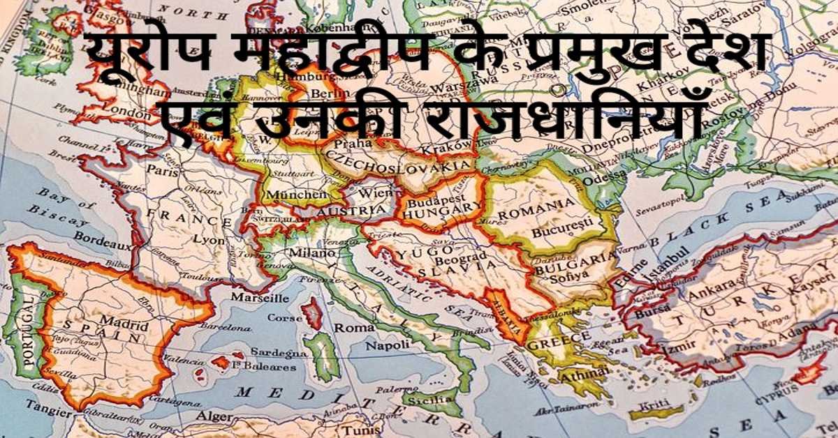
यूरोप महाद्वीप के प्रमुख देश एवं उनकी राजधानियाँ | Europe's Main Countries And Their Capitals
यहाँ यूरोप महाद्वीप के प्रमुख देश एवं उनकी राजधानियाँ दी गई हैं। Europe's Main Countries And Their Capitals given here.
Read more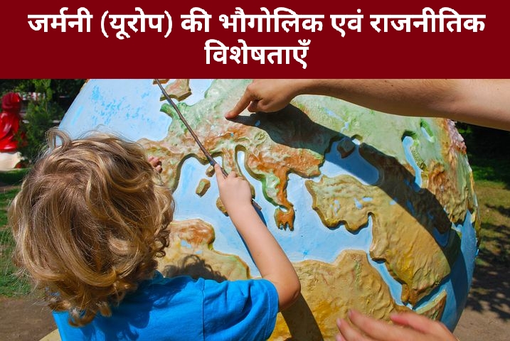
जर्मनी (यूरोप) की भौगोलिक एवं राजनीतिक विशेषताएँ | Geographical And Political Features Of Germany (Europe)
जर्मनी यूरोप महाद्वीप के महत्वपूर्ण देशों में से एक है। इसके उत्तर-पश्चिम में उत्तर सागर स्थित है। जर्मनी के उत्तर-पूर्व में बाल्टिक सागर स्थित है।
Read more.jpg)
फ्रांस (यूरोप) की भौगोलिक एवं राजनीतिक विशेषताएँ | Geographical And Political Features Of France (Europe)
फ्रांस क्षेत्रफल की दृष्टि से यूरोप महाद्वीप का दूसरा सबसे बड़ा देश है। यूरोप महाद्वीप का सबसे बड़ा देश रूस है।
Read more